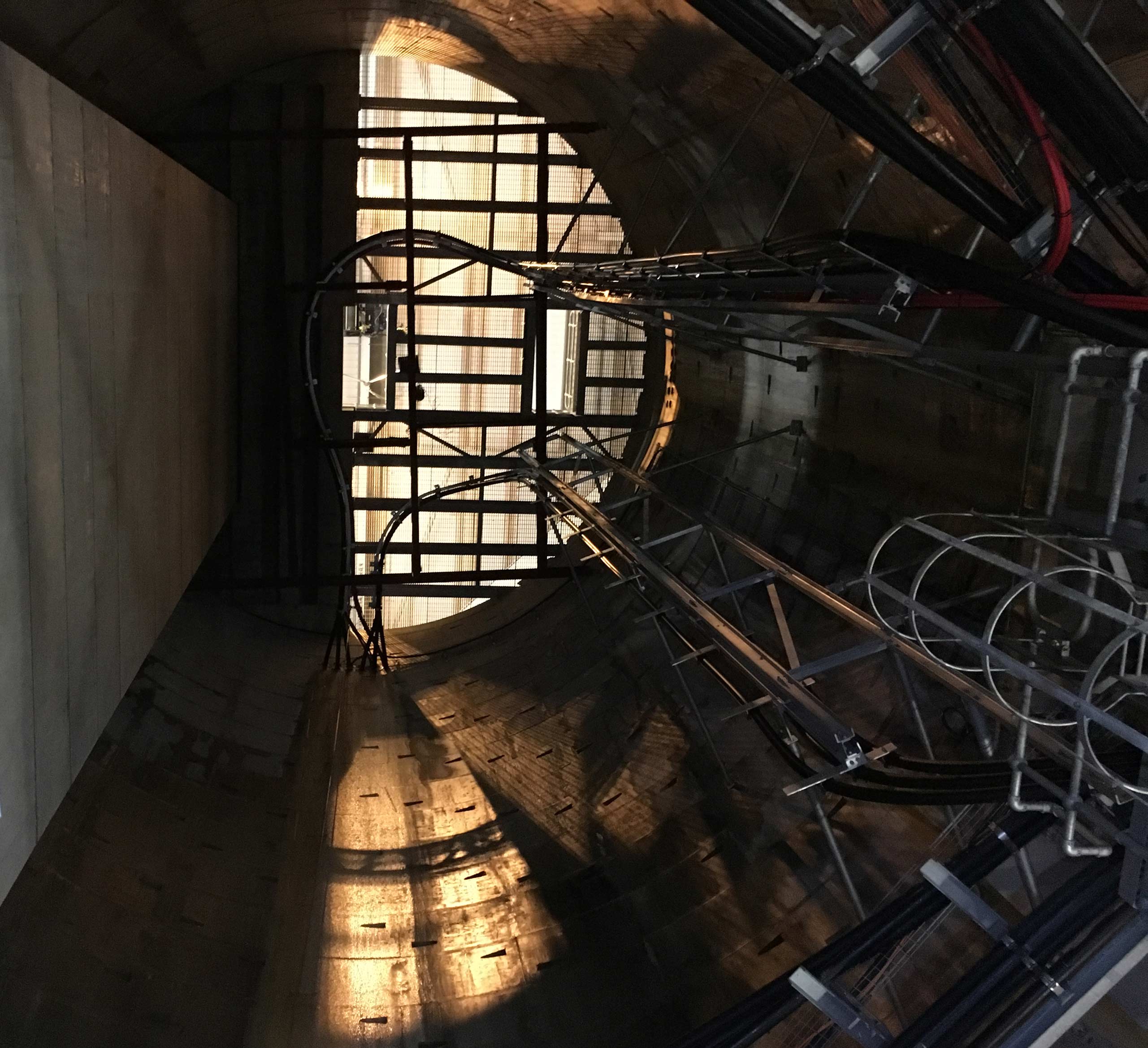
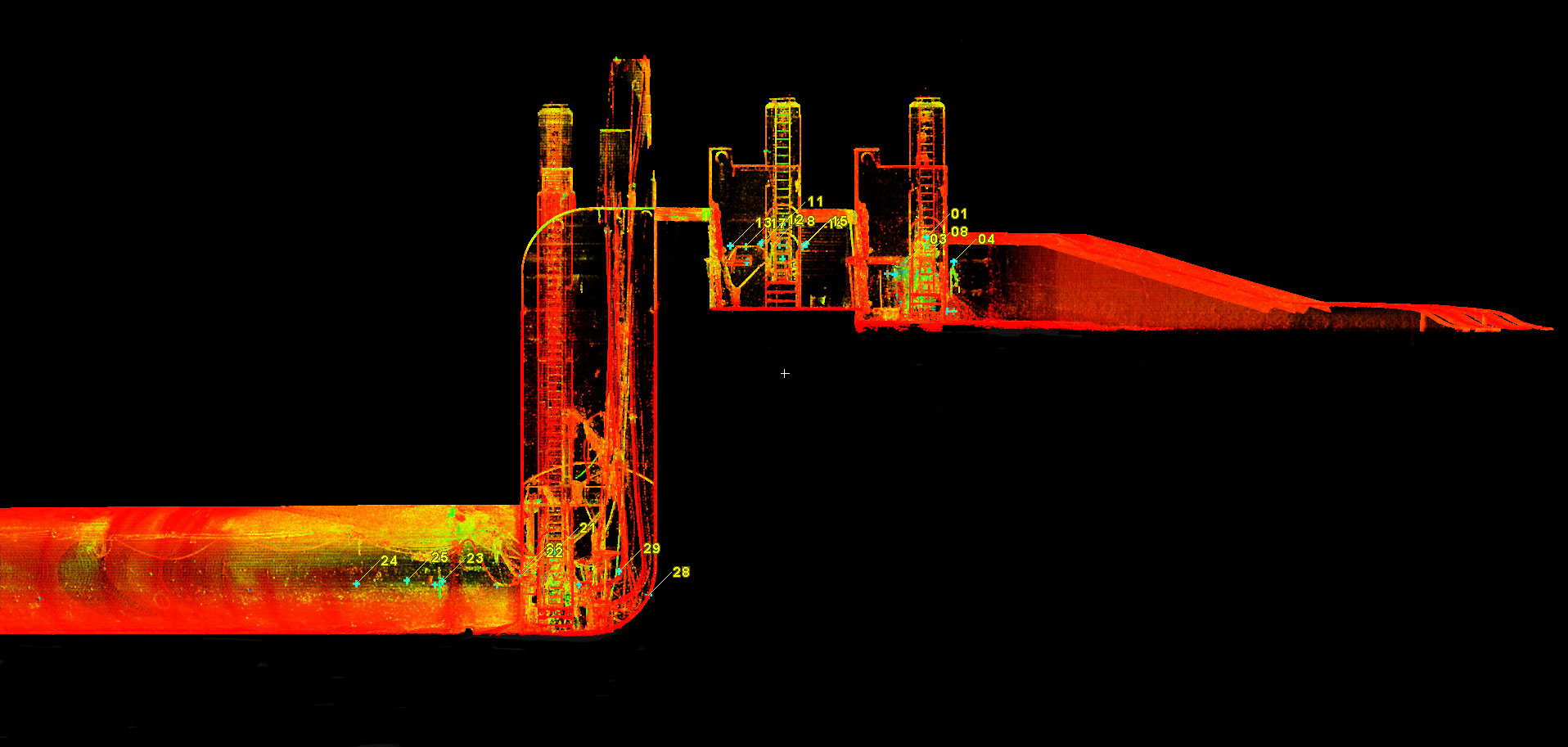
Clear Route Limited was engaged to carry out a full tunnel survey of two existing…
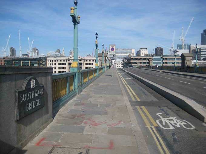
Southwark Bridge – Route Proving
A major utility company was investigating the viability of a planned multi-duct installation over a total length of 550m. The route planned to utilise any available space within carriageway and footways, and included crossing Southwark Bridge in Central London.
Solution
Clear Route was instructed to locate and map all the underground services along the total planned length of the installation.
Using a combination of Electromagnetic Location and Ground Probing Radar, all utilties were located. These results were then mapped using Leica Total Station, with drawings produced.
These results, used in conjunction with targeted trial holes to determine ground conditions etc, were then used to determine the eventual feasibilily of the proposed installation.
Related Case Studies