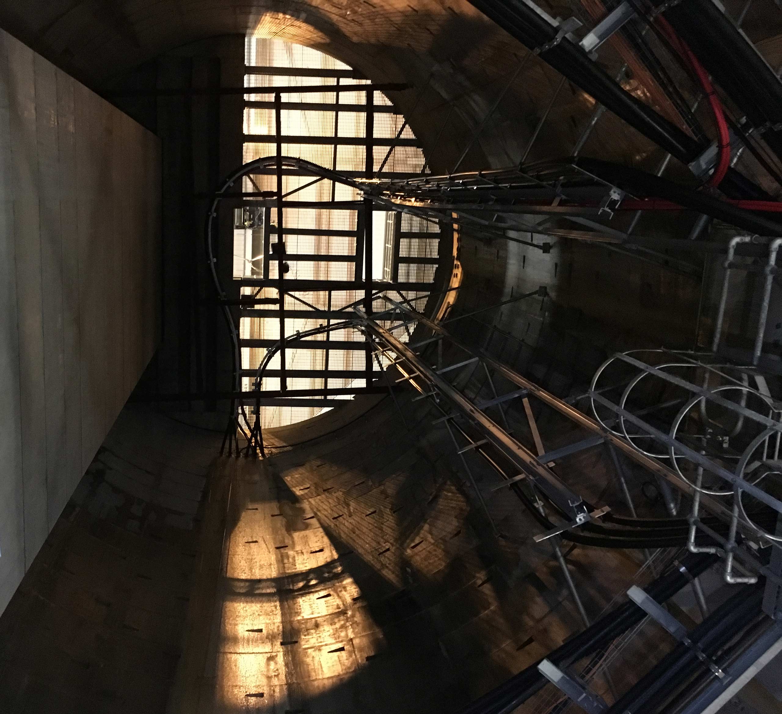
Clear Route Limited was engaged to carry out a full tunnel survey of two existing…
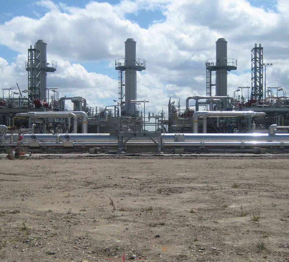
Ground Probing Radar – LNG Isle of Grain
In 1953 Anglo Persian Oil Company, later named British Petroleum, developed a large Oil Refinery at the Isle of Grain in Kent.
The refinery was a victim of decline in the demand of oil products after 1973. It was closed in 1982 and the site demolished.
British Gas took over the site and since 1982 the area has been used to store liquefied natural gas.
From 2002 to 2005 National Grid converted the storage facility into an LNG importation terminal.
Large open areas of the re-landscaped refinery require investigation for subsurface obstructions and buried services.
The area is heavily stoned with a high water table, abandoned services and disturbed substrata. The geology and nature of the area would not be conducive to successful geophysical investigation with ground probing radar alone.
Solution
Electromagnetic location was undertaken in conjunction with Ground Probing Radar.
Two radar applications were used to correlate all findings and deduce anomalous results.
A GSSI Ground Penetrating, or Impulse Radar, equipped with a 400 MHz antenna was used to map and evaluate the data as a 3D sub surface model.
Radiodetection Radar was used for locating non-conductive buried services.
A 2m grid was set out for the radar investigation with the antenna mounted on a skid unit to run over the stones.
Electromagnetic location techniques were used for the tracing of conductive services following a continuous line, independent of the radar grid.
All services and features were mapped and tied into the Plant Grid survey control network.
Related Case Studies