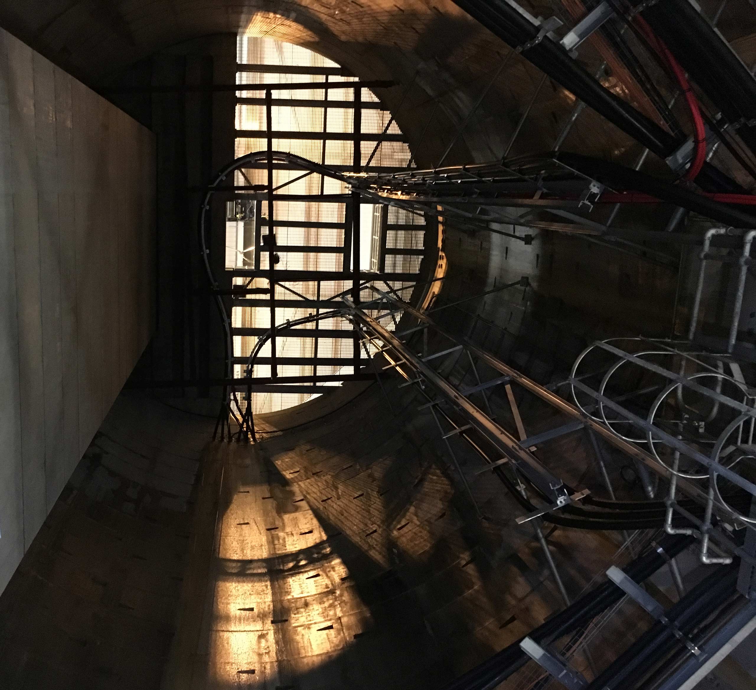
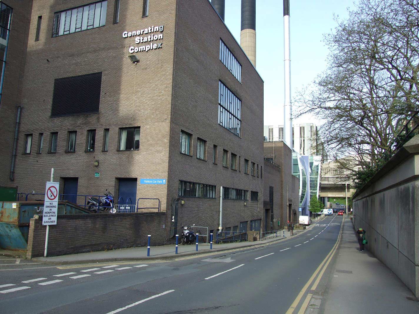
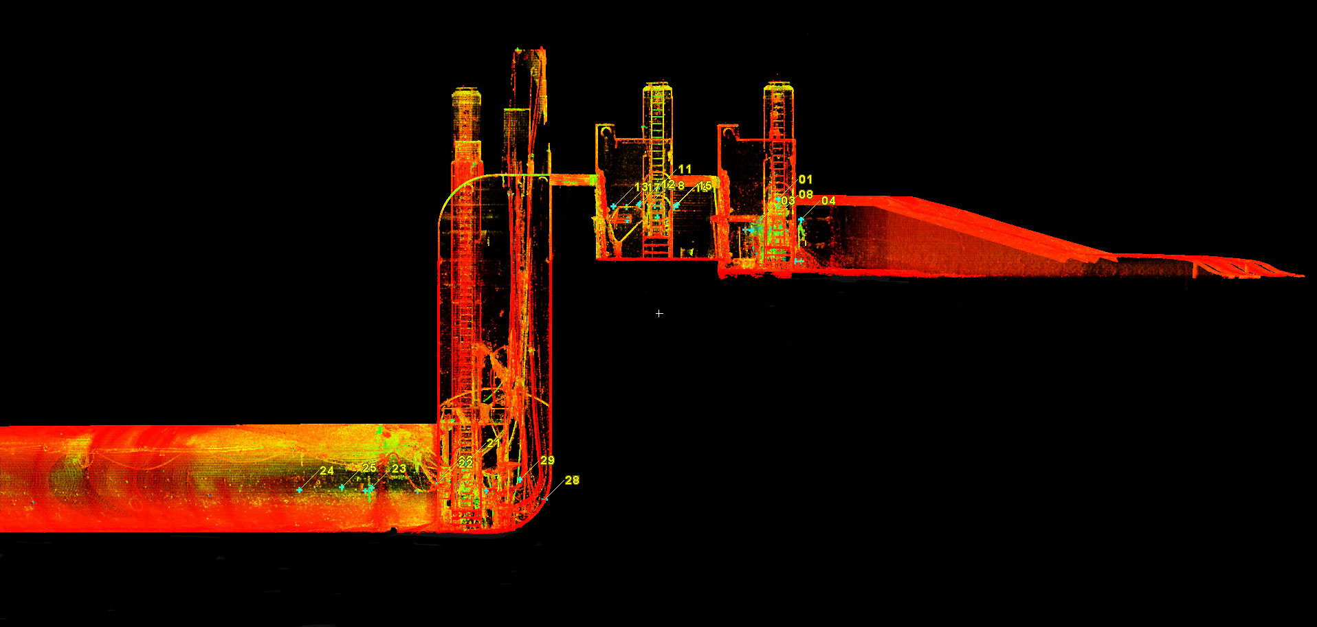
Clear Route Limited was engaged to carry out a full tunnel survey of two existing…
Basement and Drainage Connectivity Survey
Surface water modelling is required in a major urban area prone to flooding when the drainage system is overloaded.
Basements and contents within, have encountered flood damage.
Solution
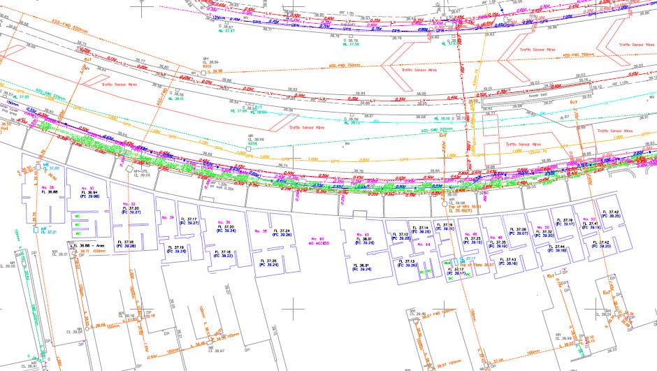
Topographic, buried service mapping and basement surveys were undertaken. Basement floor, ceiling and tidemarks were recorded to OS datum, origin and orientation.
Basement extents and wall thicknesses were obtained by traversing through the occupied and operational premises.
Drainage connectivity was achieved, linking the basements with the highway as well as the adjoining properties.
All results were furnished with a photographic and condition report.
Related Case Studies